



Conroe · Montgomery County
Land & Acreage in Conroe
Local knowledge
What's different in Conroe
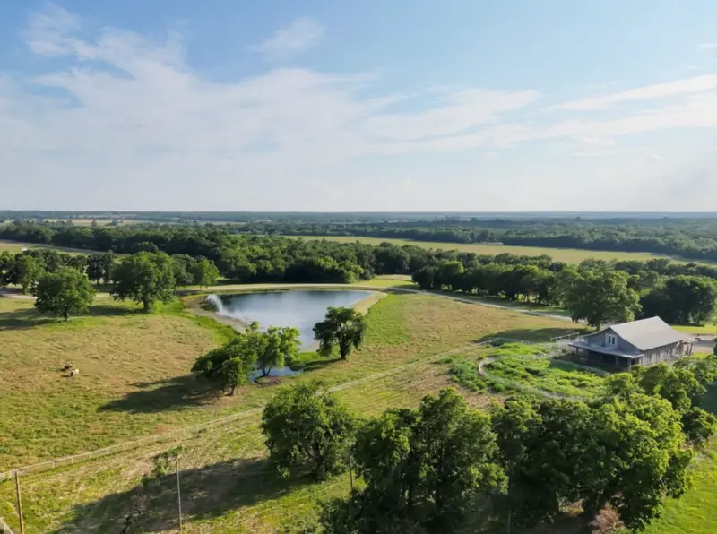
Acreage in and around Conroe tends to sit on the city's edges — north toward Willis along FM 1097 and FM 830, and east toward the Sam Houston National Forest, where wooded tracts border public land. Inside the city limits the available land is more often infill lots than acreage, and city utilities change the picture compared with rural tracts.
Outside the city, tracts near Conroe frequently need a private well and a permitted on-site sewage system, and the soil has to support one. We ask early whether a septic design exists, whether the tract has legal road access or relies on an easement, and whether deed restrictions limit manufactured homes, livestock or subdividing.
Some wooded tracts near Conroe carry agricultural or timber valuation from the Montgomery Central Appraisal District. Whether that continues after a sale depends on how the land is used, and a change can trigger additional taxes, so we point buyers to the appraisal district and their tax adviser before they plan to clear timber or build.
Near Conroe, land that borders the national forest or large timber holdings may see controlled burns, logging traffic or hunting leases on neighbouring tracts, all of which are legitimate uses. Walking the boundary, asking the seller about neighbouring activity and reviewing the survey for easements — pipelines and power lines cross much of the county — are the steps that prevent surprises after closing.
What we do
How we help
- Land due-diligence checklist: access, utilities, septic, water
- Deed-restriction and survey questions raised early
- Agricultural-valuation questions pointed to the appraisal district
- Coordination with surveyors and septic designers
Questions
Common questions
Most Conroe addresses are in Conroe ISD; some on the north side are in Willis ISD. District boundaries do not follow ZIP codes, so check the specific address with the district's own attendance-zone tool.